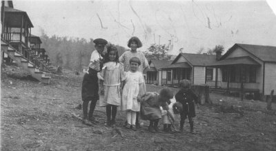
 Phipps Children, Marfrance, WV (c.1930)
 |
Location: |
Approximately 1 mile east of
Quinwood on County Route 2 (Mill Creek Road) - 38°03'20"N 80°41'29"W |
Elevation: |
3,080 ft. |
Population: |
350 (1928), 225 (1985) |
Date Formed: |
1920 |
Name Origin: |
Named for two local coal companies,
Margarette and Frances. |
Other Names: |
Margaret |
History: |
Marfrance was a coal mining community
that developed around the Margarette Coal Company. The town grew rapidly
until the late 1930s when coal production at the mines began to decline. |
Cemeteries: |
Mount Zion Church Cemetery |
Churches: |
Mount Zion Baptist Church |
Schools: |
Marfrance School |
Post Office: |
Established 1921, closed. |